 IGNIS Project is a collaboration with NASA.
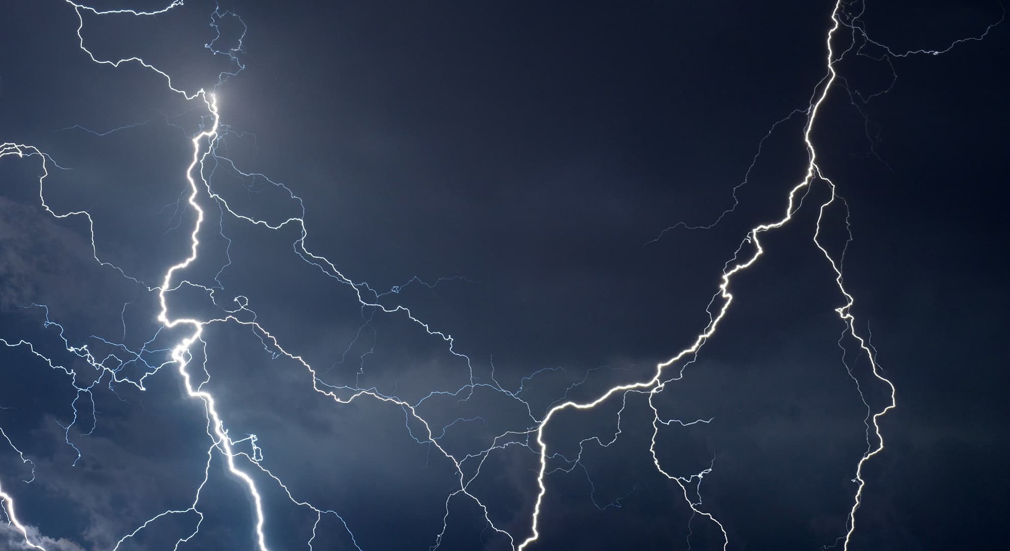
Edith Cowan University's (ECU) collaborative study with NASA, IGNIS Project, has just completed its first round of aerial data collection which has used infrared cameras to analyse the terrain in Western Australia's south-east region to select areas for a lighting mapping network.
"The airborne part of this study has just completed 10 flying days, that's more than 50 flying hours, covering 10,000 kilometres – which is the equivalent to one million hectares or 2.2 million acres," IGNIS Project Lead, ECU Executive Dean, Professor Paulo de Souza said.
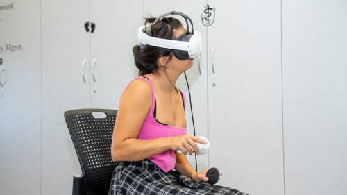
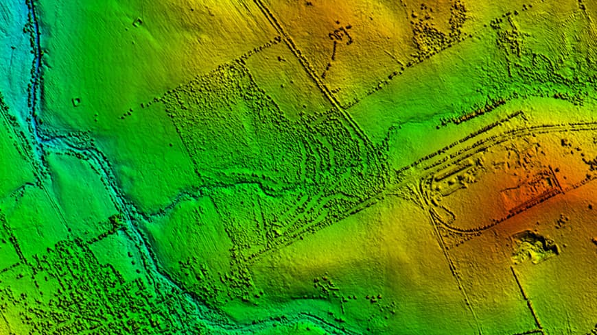 50,000 images are being analysed to locate where lightning could strike.
"We now have the task of analysing 50,000 images to locate areas where lightning could strike and spark a potentially catastrophic fire.
"Our team will be busy crunching all data giving our students an opportunity to learn advanced aerospace techniques."
IGNIS Project is a multi-agency collaboration with the US Space agency, NASA, and The University of New South Wales (UNSW) in Canberra, The University of Adelaide, University of Technology Sydney (UTS), and The University of Newcastle.
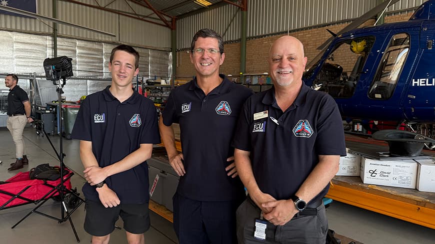 ECU student Oscar Cleverley, Professor Paulo de Souza and Murray Terwey.
The airborne mission is being supported by 10 to 14 lightning ground stations deployed across eastern Australia.
The ground network will be operated in collaboration with NASA's Marshall Space Flight Centre and the SWIRLL (Severe Weather Institute Radar and Lightning Laboratories) of the University of Alabama, in Huntsville.
Later in the year this network will be complemented by a lightning sensor installed on an aircraft. These flight campaigns will also be supported by a thermal sensor developed by NASA's Goddard Space Flight Centre.
The next stage of IGNIS would involve the launch of a 12U satellite to map and track thermal and lightning patterns from Low Earth Orbit.
"This project could take several years to complete but could change the way lightning is studied well into the future and could potentially change the way fires are fought not only in Australia, but around the world," Professor de Souza said.